Geolocate

Sariyatal topographic map

Click on the map to display elevation.

About this map

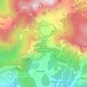
Name: Sariyatal topographic map, elevation, terrain.

Location: Sariyatal, Sariya, Char Khet, Nainital, Uttarakhand, India (29.37867 79.43073 29.38031 79.43144)

Average elevation: 6,161 ft

Minimum elevation: 4,613 ft

Maximum elevation: 7,812 ft

Gear up for your next adventure:

🧢Sun Protection Hats - Wide-brimmed and UPF-rated hats for high-altitude sun safety
📻Weather Alert Radios - Stay informed of storm risks while off-the-grid
🪶Survival Guide Book - Expert advice for emergency preparedness
🌲Outdoor Survival Books - Best books on survival skills
🛠️Backpacking Tool Kit - Essential toolkit for outdoor repairs

As an Amazon Associate, this site earns from qualifying purchases at no extra cost to you.