
Thank you for supporting this site ❤️
Make a donation
Make a donation
Gear up for your next adventure:
As an Amazon Associate, this site earns from qualifying purchases at no extra cost to you.
Sincelejito topographic map
Click on the map to display elevation.
Thank you for supporting this site ❤️
Make a donation
Make a donation
Gear up for your next adventure:
As an Amazon Associate, this site earns from qualifying purchases at no extra cost to you.
About this map
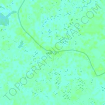
Name: Sincelejito topographic map, elevation, terrain.
Location: Sincelejito, Ayapel, San Jorge, Córdoba, Colombia (8.39065 -75.02132 8.43065 -74.98132)
Average elevation: 69 ft
Minimum elevation: 56 ft
Maximum elevation: 82 ft
Thank you for supporting this site ❤️
Make a donation
Make a donation
Gear up for your next adventure:
As an Amazon Associate, this site earns from qualifying purchases at no extra cost to you.