
Alangad topographic map
Click on the map to display elevation.
About this map
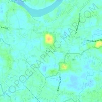
Name: Alangad topographic map, elevation, terrain.
Location: Alangad, Paravur, Ernakulam district, Kerala, 683511, India (10.10204 76.28000 10.14204 76.32000)
Average elevation: 20 ft
Minimum elevation: -13 ft
Maximum elevation: 82 ft