Geolocate

Nason topographic map

Click on the map to display elevation.

About this map

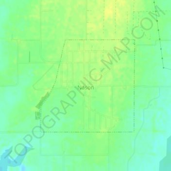
Name: Nason topographic map, elevation, terrain.

Location: Nason, Jefferson County, Illinois, United States (38.16911 -88.97666 38.18371 -88.95775)

Average elevation: 430 ft

Minimum elevation: 397 ft

Maximum elevation: 456 ft

Jefferson County trails, hiking, mountain biking, running and outdoor activities

Other topographic maps

Click on a map to view its topography, its elevation and its terrain.

Roaches

United States > Illinois > Jefferson County

Average elevation: 489 ft

Gear up for your next adventure:

🍳Camping Cook Set - Complete cookware for outdoor meals
🧼Biodegradable Camping Soap - Eco‑friendly soap for outdoor hygiene
🔦LED Headlamp - Bright and durable LED headlamp for night navigation
💧Water Purification System - Clean water on the trail with reliable purifiers
📚USA Hiking Guide Books - Top trail guides and map books

As an Amazon Associate, this site earns from qualifying purchases at no extra cost to you.