Geolocate

Nuagam topographic map

Click on the map to display elevation.

About this map

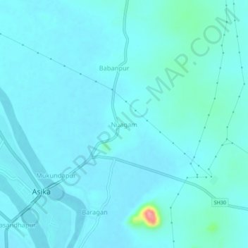
Name: Nuagam topographic map, elevation, terrain.

Location: Nuagam, Asika, Ganjam, Odisha, 761111, India (19.59693 84.66661 19.63693 84.70661)

Average elevation: 144 ft

Minimum elevation: 108 ft

Maximum elevation: 469 ft

Gear up for your next adventure:

🕶️GPS Smartphone Mount - Secure mount for phone navigation
📖Nature Tracking Books - Learn to track wildlife and terrain
🧦Merino Wool Socks - Moisture-wicking, blister-preventing socks for long treks
🥤Water Filter Bottle - All‑in‑one filter bottle for safe hydration
🏕️Tent Footprint - Protect your tent base from wear

As an Amazon Associate, this site earns from qualifying purchases at no extra cost to you.