
Chełm topographic map
Interactive map
Click on the map to display elevation.
About this map
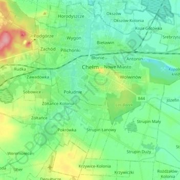
Name: Chełm topographic map, elevation, terrain.
Location: Chełm, Voïvodie de Lublin, Pologne (51.10327 23.42004 51.16793 23.55938)
Average elevation: 636 ft
Minimum elevation: 551 ft
Maximum elevation: 892 ft