
Trou au Natron topographic map
Interactive map
Click on the map to display elevation.
About this map
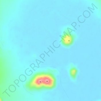
Name: Trou au Natron topographic map, elevation, terrain.
Location: Trou au Natron, Tibesti, Tchad (20.96134 16.55716 20.98134 16.57716)
Average elevation: 5,023 ft
Minimum elevation: 4,984 ft
Maximum elevation: 5,384 ft
Other topographic maps
Click on a map to view its topography, its elevation and its terrain.