
Thank you for supporting this site ❤️
Make a donation
Make a donation
Gear up for your next adventure:
As an Amazon Associate, this site earns from qualifying purchases at no extra cost to you.
Jojawar topographic map
Click on the map to display elevation.
Thank you for supporting this site ❤️
Make a donation
Make a donation
Gear up for your next adventure:
As an Amazon Associate, this site earns from qualifying purchases at no extra cost to you.
About this map
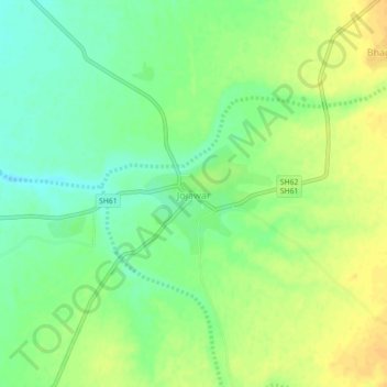
Name: Jojawar topographic map, elevation, terrain.
Location: Jojawar, Marwar Junction Tehsil, Pali, Rajasthan, India (25.51104 73.71977 25.55104 73.75977)
Average elevation: 1,070 ft
Minimum elevation: 1,024 ft
Maximum elevation: 1,112 ft
Thank you for supporting this site ❤️
Make a donation
Make a donation
Gear up for your next adventure:
As an Amazon Associate, this site earns from qualifying purchases at no extra cost to you.