Geolocate

Green Crossing topographic map

Click on the map to display elevation.

About this map

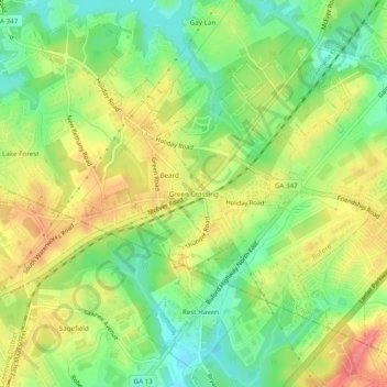
Name: Green Crossing topographic map, elevation, terrain.

Location: Green Crossing, Buford, Hall County, Georgia, United States (34.12538 -83.99741 34.16538 -83.95741)

Average elevation: 1,161 ft

Minimum elevation: 1,043 ft

Maximum elevation: 1,289 ft

Hall County trails, hiking, mountain biking, running and outdoor activities

Gear up for your next adventure:

📶Vehicle Signal Boosters - Improve reception in rural areas while driving to trailheads
🧥Waterproof Jacket for Hiking - Breathable and rugged rain jacket for outdoor excursions
🧭Orienteering Set - Complete compass and map reading kit
🥾Hiking Shoes - Durable and comfortable shoes for trail hiking
🧣Hiking Neck Gaiter - Multi‑use neck protection for outdoor weather

As an Amazon Associate, this site earns from qualifying purchases at no extra cost to you.