Geolocate

Riverside topographic map

Click on the map to display elevation.

About this map

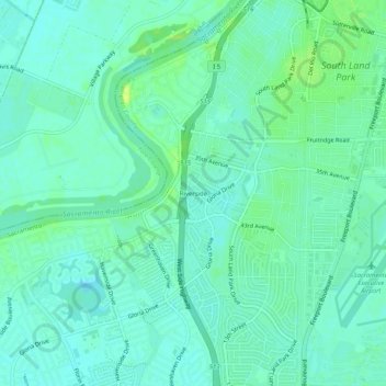
Name: Riverside topographic map, elevation, terrain.

Location: Riverside, Sacramento, Sacramento County, California, 95822, United States (38.49907 -121.54051 38.53907 -121.50051)

Average elevation: 23 ft

Minimum elevation: 3 ft

Maximum elevation: 59 ft

Other topographic maps

Click on a map to view its topography, its elevation and its terrain.

Gear up for your next adventure:

🕶️GPS Smartphone Mount - Secure mount for phone navigation
🎒Outdoor Daypacks - Lightweight backpacks designed for carrying maps and essential gear
🛡️Bear Spray Outdoor - Protection in bear country hikes
🛰️Satellite Messengers - Emergency SOS and two-way messaging for off-grid adventures
🍳Camping Cook Set - Complete cookware for outdoor meals

As an Amazon Associate, this site earns from qualifying purchases at no extra cost to you.