Geolocate

Mount Loyal topographic map

Click on the map to display elevation.

About this map

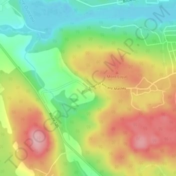
Name: Mount Loyal topographic map, elevation, terrain.

Location: Mount Loyal, Rawdon, Matawinie, Lanaudière, Quebec, Canada (46.02979 -73.80900 46.04979 -73.78900)

Average elevation: 722 ft

Minimum elevation: 492 ft

Maximum elevation: 981 ft

Gear up for your next adventure:

🔌USB Car Charger - Car charger for on‑the‑go power needs
👓Polarized Sunglasses - Outdoor sunglasses for glare reduction
🏫Relief Map Kits - Hands-on tools for teaching landforms and elevation
🧤Hiking Gloves - Protective gloves for rugged trails
🔥Fast-Boil Camping Stoves - Efficient cooking systems for quick trail meals

As an Amazon Associate, this site earns from qualifying purchases at no extra cost to you.