
Molinar topographic map
Interactive map
Click on the map to display elevation.
About this map
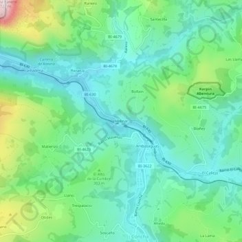
Name: Molinar topographic map, elevation, terrain.
Location: Molinar, Valle de Carranza, Vizcaya, País Vasco, España (43.22201 -3.38392 43.26201 -3.34392)
Average elevation: 863 ft
Minimum elevation: 351 ft
Maximum elevation: 2,306 ft