
Provincia de Cotabambas topographic map
Interactive map
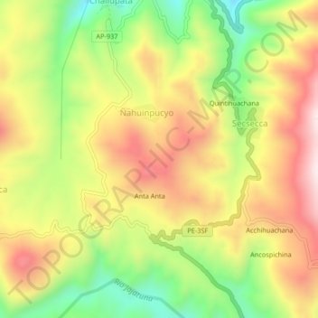
Click on the map to display elevation.
About this map
Name: Provincia de Cotabambas topographic map, elevation, terrain.
Average elevation: 12,674 ft
Minimum elevation: 11,726 ft
Maximum elevation: 13,579 ft
Other topographic maps
Click on a map to view its topography, its elevation and its terrain.
Antuyo
Perú > Apurímac > Tambobamba
Antuyo, Tambobamba, Cotabambas, Apurímac, Perú
Average elevation: 13,533 ft
Ayaccasi
Perú > Apurímac > Tambobamba
Ayaccasi, Tambobamba, Cotabambas, Apurímac, Perú
Average elevation: 12,940 ft