
Sairme topographic map
Click on the map to display elevation.
About this map
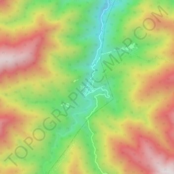
Name: Sairme topographic map, elevation, terrain.
Location: Sairme, Vani Municipality, Imereti, Georgia (41.88600 42.72398 41.92600 42.76398)
Average elevation: 4,196 ft
Minimum elevation: 2,507 ft
Maximum elevation: 5,955 ft