
Thank you for supporting this site ❤️
Make a donation
Make a donation
Gear up for your next adventure:
As an Amazon Associate, this site earns from qualifying purchases at no extra cost to you.
Kayalıoğlu topographic map
Click on the map to display elevation.
Thank you for supporting this site ❤️
Make a donation
Make a donation
Gear up for your next adventure:
As an Amazon Associate, this site earns from qualifying purchases at no extra cost to you.
About this map
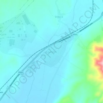
Name: Kayalıoğlu topographic map, elevation, terrain.
Location: Kayalıoğlu, Akhisar, Manisa, Aegean Region, Turkey (38.86696 27.74995 38.90696 27.78995)
Average elevation: 325 ft
Minimum elevation: 243 ft
Maximum elevation: 909 ft
Thank you for supporting this site ❤️
Make a donation
Make a donation
Gear up for your next adventure:
As an Amazon Associate, this site earns from qualifying purchases at no extra cost to you.