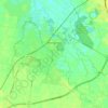
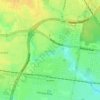
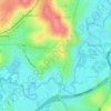
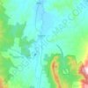
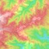
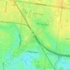
Pyalong topographic map
Click on the map to display elevation.
About this map

Name: Pyalong topographic map, elevation, terrain.
Location: Pyalong, Victoria, 3521, Australia (-37.13677 144.83982 -37.09677 144.87982)
Average elevation: 948 ft
Minimum elevation: 755 ft
Maximum elevation: 1,266 ft
Other topographic maps
Click on a map to view its topography, its elevation and its terrain.
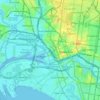
City of Melbourne
Melbourne's topography is characterized by a diverse landscape that transitions from flat coastal plains to rolling hills and mountainous regions. The city is situated at the northern end of Port Phillip Bay, where the terrain is predominantly flat, facilitating urban development. As one moves eastward, the…
Average elevation: 59 ft
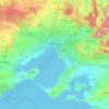
Melbourne
Melbourne is also prone to isolated convective showers forming when a cold pool crosses the state, especially if there is considerable daytime heating. These showers are often heavy and can include hail, squalls, and significant drops in temperature, but they often pass through very quickly with a rapid…
Average elevation: 607 ft



Grampians National Park
Mount William is known within the gliding community for the "Grampians Wave", a weather phenomenon that sometimes enables glider pilots to reach extreme altitudes of the order of 28,000 ft (8,500 m). This predominantly occurs during the months of May, June, September and October when strong westerly winds flow…
Average elevation: 860 ft