
Lanark topographic map
Click on the map to display elevation.
About this map
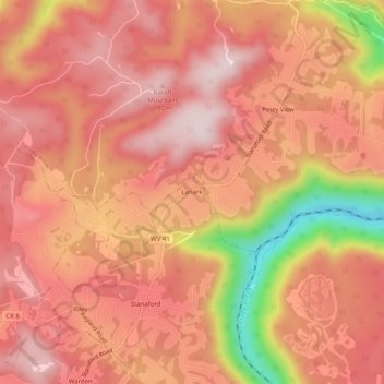
Name: Lanark topographic map, elevation, terrain.
Location: Lanark, Raleigh County, West Virginia, 25860, United States (37.80761 -81.16621 37.84761 -81.12621)
Average elevation: 2,283 ft
Minimum elevation: 1,450 ft
Maximum elevation: 2,635 ft
Raleigh County trails, hiking, mountain biking, running and outdoor activities