
Audrey topographic map
Interactive map
Click on the map to display elevation.
About this map
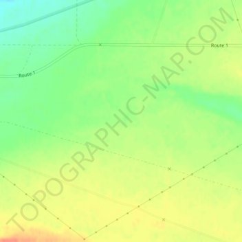
Name: Audrey topographic map, elevation, terrain.
Location: Audrey, Benton County, Washington, United States (46.61719 -119.62428 46.63719 -119.60428)
Average elevation: 512 ft
Minimum elevation: 433 ft
Maximum elevation: 581 ft
Benton County trails, hiking, mountain biking, running and outdoor activities
Other topographic maps
Click on a map to view its topography, its elevation and its terrain.