
Corbyville Dam topographic map
Interactive map
Click on the map to display elevation.
About this map
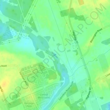
Name: Corbyville Dam topographic map, elevation, terrain.
Location: Corbyville Dam, Belleville, Ontario, K8P 3C8, Canada (44.21978 -77.38946 44.22024 -77.38874)
Average elevation: 354 ft
Minimum elevation: 315 ft
Maximum elevation: 400 ft