

Barazzetto topographic map
Click on the map to display elevation.
Barazzetto
Barazzetto è una frazione di Biella. Situata nella parte occidentale della città, con una superficie di 1,45 km², conta circa 1.150 abitanti. Si trova a poco più di 400 metri di altitudine ed è percorsa da tre torrenti: il Bolume, l'Oremo e il Viariggio, affluente dell'Oremo.
About this map
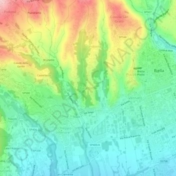
Name: Barazzetto topographic map, elevation, terrain.
Location: Barazzetto, Biella, Piemonte, 13897, Italia (45.54242 8.01132 45.58242 8.05132)
Average elevation: 1,460 ft
Minimum elevation: 1,194 ft
Maximum elevation: 1,972 ft