
Gülbahçe topographic map
Interactive map
Click on the map to display elevation.
About this map
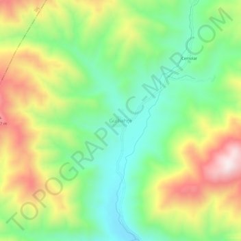
Name: Gülbahçe topographic map, elevation, terrain.
Location: Gülbahçe, Kemah, Erzincan, Eastern Anatolia Region, Turkey (39.63944 38.66839 39.67944 38.70839)
Average elevation: 5,778 ft
Minimum elevation: 4,948 ft
Maximum elevation: 7,014 ft
Other topographic maps
Click on a map to view its topography, its elevation and its terrain.