
Thank you for supporting this site ❤️
Make a donation
Make a donation
Gear up for your next adventure:
As an Amazon Associate, this site earns from qualifying purchases at no extra cost to you.
Şahintepe topographic map
Click on the map to display elevation.
Thank you for supporting this site ❤️
Make a donation
Make a donation
Gear up for your next adventure:
As an Amazon Associate, this site earns from qualifying purchases at no extra cost to you.
About this map
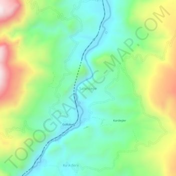
Name: Şahintepe topographic map, elevation, terrain.
Location: Şahintepe, Kemah, Erzincan, Eastern Anatolia Region, Turkey (39.49685 38.72796 39.53685 38.76796)
Average elevation: 3,812 ft
Minimum elevation: 3,012 ft
Maximum elevation: 5,377 ft
Thank you for supporting this site ❤️
Make a donation
Make a donation
Gear up for your next adventure:
As an Amazon Associate, this site earns from qualifying purchases at no extra cost to you.