Geolocate

Sihala topographic map

Click on the map to display elevation.

About this map

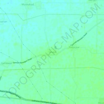
Name: Sihala topographic map, elevation, terrain.

Location: Sihala, Samrala Tahsil, Ludhiana, Punjab, 141125, India (30.82708 76.22066 30.86708 76.26066)

Average elevation: 883 ft

Minimum elevation: 866 ft

Maximum elevation: 896 ft

Gear up for your next adventure:

🎁Geography Themed Gifts - Unique gift ideas for map lovers and geography enthusiasts
😴Insulated Sleeping Pads - Compact and warm pads for high-elevation camping
🧤Tactile Hiking Gloves - Keep hands warm while operating GPS and smartphone screens
🚪Portable Camp Chair - Foldable chair for comfort at camp
📱Solar Portable Charger - Solar power bank for charging devices off‑grid

As an Amazon Associate, this site earns from qualifying purchases at no extra cost to you.