Geolocate

Montfoort topographic map

Click on the map to display elevation.

Montfoort

Dutch topographic map of the municipality of Montfoort, June 2015

About this map

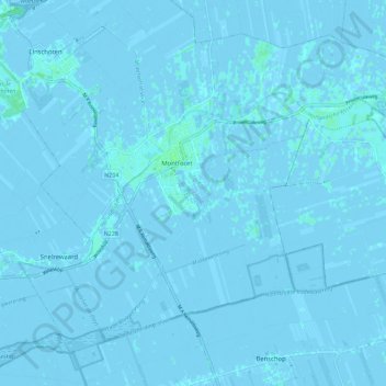
Name: Montfoort topographic map, elevation, terrain.

Location: Montfoort, Utrecht, Netherlands (52.01001 4.90497 52.06756 5.01801)

Average elevation: 0 ft

Minimum elevation: -13 ft

Maximum elevation: 13 ft

Gear up for your next adventure:

🧦Hiking Socks - Comfortable socks to prevent blisters on long hikes
🔪Outdoor Multitools - Essential survival tools for gear repair and field use
📦Gear Storage Bags - Organize and protect outdoor equipment
🧣Hiking Neck Gaiter - Multi‑use neck protection for outdoor weather
👓Polarized Sunglasses - Outdoor sunglasses for glare reduction

As an Amazon Associate, this site earns from qualifying purchases at no extra cost to you.