Geolocate

Kasarsai topographic map

Click on the map to display elevation.

About this map

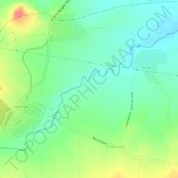
Name: Kasarsai topographic map, elevation, terrain.

Location: Kasarsai, Nere, Mulshi, Maharashtra, 412101, India (18.62388 73.67752 18.63708 73.69648)

Average elevation: 1,985 ft

Minimum elevation: 1,896 ft

Maximum elevation: 2,123 ft

Gear up for your next adventure:

🌧️Backpack Rain Cover - Keep gear dry in wet weather
🧴Hand Sanitizer - Keep hands clean while hiking
📷Action Camera - Capture your outdoor adventures in HD
🌲Outdoor Survival Books - Best books on survival skills
🎒Waterproof Dry Bags - Keep your electronics and maps dry inside your pack

As an Amazon Associate, this site earns from qualifying purchases at no extra cost to you.