
Linn topographic map
Click on the map to display elevation.
About this map
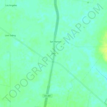
Name: Linn topographic map, elevation, terrain.
Location: Linn, Hidalgo County, Texas, United States (26.54006 -98.14195 26.58006 -98.10195)
Average elevation: 75 ft
Minimum elevation: 56 ft
Maximum elevation: 105 ft
Hidalgo County trails, hiking, mountain biking, running and outdoor activities
Other topographic maps
Click on a map to view its topography, its elevation and its terrain.