
Shamshi Thach topographic map
Interactive map
Click on the map to display elevation.
About this map
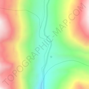
Name: Shamshi Thach topographic map, elevation, terrain.
Location: Shamshi Thach, Kullu, Kullu District, Himachal Pradesh, India (32.10856 77.47095 32.12856 77.49095)
Average elevation: 13,530 ft
Minimum elevation: 12,211 ft
Maximum elevation: 15,128 ft
Other topographic maps
Click on a map to view its topography, its elevation and its terrain.