
Gouderak topographic map
Interactive map
Click on the map to display elevation.
About this map
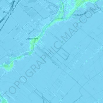
Name: Gouderak topographic map, elevation, terrain.
Location: Gouderak, Krimpenerwaard, Zuid-Holland, Nederland (51.95798 4.64984 52.00176 4.73531)
Average elevation: -7 ft
Minimum elevation: -26 ft
Maximum elevation: 13 ft
Other topographic maps
Click on a map to view its topography, its elevation and its terrain.
Krimpenerwaard
Nederland > Zuid-Holland > Krimpenerwaard
Krimpenerwaard, Zuid-Holland, Nederland
Average elevation: -3 ft