
Woodstock Dam topographic map
Interactive map
Click on the map to display elevation.
About this map
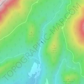
Name: Woodstock Dam topographic map, elevation, terrain.
Location: Woodstock Dam, Shenandoah County, Virginia, USA (38.91876 -78.65770 38.91931 -78.65661)
Average elevation: 1,604 ft
Minimum elevation: 1,109 ft
Maximum elevation: 2,677 ft
Other topographic maps
Click on a map to view its topography, its elevation and its terrain.
James River
James River, Henrico County, Virginia, 23219:23223, USA
Average elevation: 292 ft
Mount Hermon
USA > Virginia > Mount Hermon
Mount Hermon, Pittsylvania County, Virginia, USA
Average elevation: 653 ft