
Thank you for supporting this site ❤️
Make a donation
Make a donation
Gear up for your next adventure:
As an Amazon Associate, this site earns from qualifying purchases at no extra cost to you.
Baldaria topographic map
Click on the map to display elevation.
Thank you for supporting this site ❤️
Make a donation
Make a donation
Gear up for your next adventure:
As an Amazon Associate, this site earns from qualifying purchases at no extra cost to you.
About this map
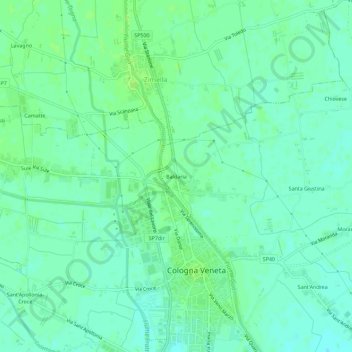
Name: Baldaria topographic map, elevation, terrain.
Location: Baldaria, Cologna Veneta, Verona, Veneto, 37044, Italia (45.30094 11.36115 45.34094 11.40115)
Average elevation: 69 ft
Minimum elevation: 52 ft
Maximum elevation: 85 ft
Thank you for supporting this site ❤️
Make a donation
Make a donation
Gear up for your next adventure:
As an Amazon Associate, this site earns from qualifying purchases at no extra cost to you.