
Leina küla topographic map
Interactive map
Click on the map to display elevation.
About this map
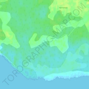
Name: Leina küla topographic map, elevation, terrain.
Location: Leina küla, Saaremaa vald, Saare maakond, 94115, Estland (58.27474 22.75228 58.28877 22.78726)
Average elevation: 16 ft
Minimum elevation: -3 ft
Maximum elevation: 46 ft
Other topographic maps
Click on a map to view its topography, its elevation and its terrain.