
Schildau topographic map
Interactive map
Click on the map to display elevation.
About this map
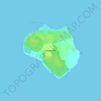
Name: Schildau topographic map, elevation, terrain.
Location: Schildau, Kesse küla, Muhu vald, Saare maakond, 94720, Estland (58.62490 23.41409 58.64027 23.44389)
Average elevation: 3 ft
Minimum elevation: 0 ft
Maximum elevation: 49 ft
Other topographic maps
Click on a map to view its topography, its elevation and its terrain.