Geolocate

Caboolture River topographic map

Click on the map to display elevation.

About this map

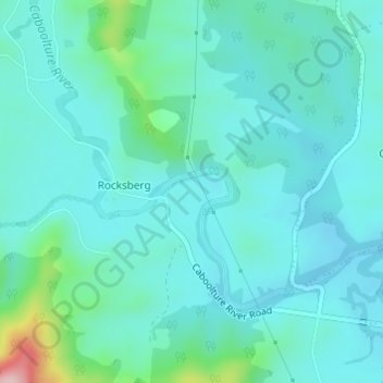
Name: Caboolture River topographic map, elevation, terrain.

Location: Caboolture River, Caboolture, Queensland, Australia (-27.11657 152.84710 -27.11356 152.85314)

Average elevation: 217 ft

Minimum elevation: 89 ft

Maximum elevation: 866 ft

Other topographic maps

Click on a map to view its topography, its elevation and its terrain.

Bellthorpe

Australia > Queensland > Caboolture

Average elevation: 1,608 ft

Caboolture

Australia > Queensland > Caboolture

Average elevation: 197 ft

Gear up for your next adventure:

🚪Portable Camp Chair - Foldable chair for comfort at camp
⛑️Personal Locator Beacon - Safety beacon for emergencies
🎁Geography Themed Gifts - Unique gift ideas for map lovers and geography enthusiasts
🌡️Portable Weather Meter - Track weather conditions on the trail
🥩Freeze-Dried Meals - Nutritious and lightweight food for remote expeditions

As an Amazon Associate, this site earns from qualifying purchases at no extra cost to you.