
El Vigía topographic map
Click on the map to display elevation.
About this map
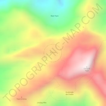
Name: El Vigía topographic map, elevation, terrain.
Average elevation: 3,714 ft
Minimum elevation: 2,359 ft
Maximum elevation: 4,754 ft
Other topographic maps
Click on a map to view its topography, its elevation and its terrain.
Cañón del Colorado
Venezuela > Estado Sucre > Municipio Sucre > San Pedrito
Average elevation: 1,316 ft