
Boltsfork topographic map
Click on the map to display elevation.
About this map
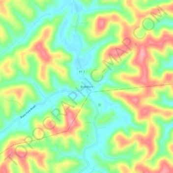
Name: Boltsfork topographic map, elevation, terrain.
Location: Boltsfork, Boyd County, Kentucky, United States (38.24314 -82.71961 38.28314 -82.67961)
Average elevation: 791 ft
Minimum elevation: 623 ft
Maximum elevation: 1,007 ft
Boyd County trails, hiking, mountain biking, running and outdoor activities