
Thank you for supporting this site ❤️
Make a donation
Make a donation
Gear up for your next adventure:
As an Amazon Associate, this site earns from qualifying purchases at no extra cost to you.
Hodgeville topographic map
Click on the map to display elevation.
Thank you for supporting this site ❤️
Make a donation
Make a donation
Gear up for your next adventure:
As an Amazon Associate, this site earns from qualifying purchases at no extra cost to you.
About this map
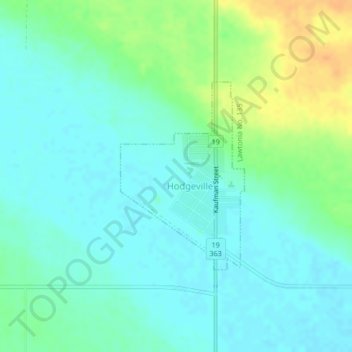
Name: Hodgeville topographic map, elevation, terrain.
Location: Hodgeville, Saskatchewan, Canada (50.10731 -106.97175 50.12172 -106.95690)
Average elevation: 2,310 ft
Minimum elevation: 2,277 ft
Maximum elevation: 2,385 ft
Thank you for supporting this site ❤️
Make a donation
Make a donation
Gear up for your next adventure:
As an Amazon Associate, this site earns from qualifying purchases at no extra cost to you.