
Mount Thom Park topographic map
Interactive map
Click on the map to display elevation.
About this map
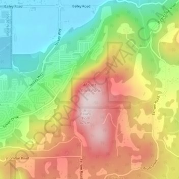
Name: Mount Thom Park topographic map, elevation, terrain.
Average elevation: 735 ft
Minimum elevation: 36 ft
Maximum elevation: 1,542 ft
Other topographic maps
Click on a map to view its topography, its elevation and its terrain.
Fraser River
Canada > British Columbia > Chilliwack > Hope > Deroche
Fraser River, Flood Hope Road, Hope, Fraser Valley Regional District, British Columbia, V0X 1L1, Canada
Average elevation: 2,838 ft