Geolocate

Zwickau topographic map

Click on the map to display elevation.

About this map

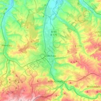
Name: Zwickau topographic map, elevation, terrain.

Location: Zwickau, Langenweißbach, Zwickau, Saxony, 08134, Germany (50.64172 12.40838 50.81284 12.56596)

Average elevation: 1,079 ft

Minimum elevation: 781 ft

Maximum elevation: 1,565 ft

Gear up for your next adventure:

📌Outdoor GPS Map App - Apps and devices for digital topographic navigation
🛠️Backpacking Tool Kit - Essential toolkit for outdoor repairs
GPS Sports Watch - GPS watch for running, hiking and training
👟Trail Running Shoes - Lightweight shoes for trail runners
🖼️Topo Map Wall Art - Decorative topographic prints of famous peaks and regions

As an Amazon Associate, this site earns from qualifying purchases at no extra cost to you.