Geolocate

Bibaj topographic map

Click on the map to display elevation.

About this map

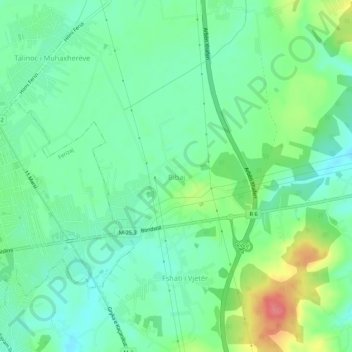
Name: Bibaj topographic map, elevation, terrain.

Location: Bibaj, Municipality of Ferizaj, 70000, Kosovo (42.35611 21.17506 42.39611 21.21506)

Average elevation: 1,896 ft

Minimum elevation: 1,814 ft

Maximum elevation: 2,070 ft

Gear up for your next adventure:

📌Outdoor GPS Map App - Apps and devices for digital topographic navigation
😴Insulated Sleeping Pads - Compact and warm pads for high-elevation camping
🎒Gear Packing Cubes - Organize your backpack efficiently
🥾Women's Hiking Boots - Top-rated trail boots with ankle support and superior grip
🧺Microfiber Travel Towels - Compact and fast-drying towels for trail use

As an Amazon Associate, this site earns from qualifying purchases at no extra cost to you.