Geolocate

Lindsey topographic map

Click on the map to display elevation.

👉 Easily get elevation data in JSON, GeoTIFF and KML formats using Elevation API
Thank you for supporting this site ❤️
Make a donation

About this map

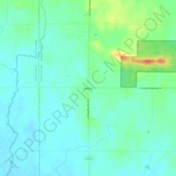
Name: Lindsey topographic map, elevation, terrain.

Location: Lindsey, Town of Rock, Wood County, Wisconsin, United States (44.53580 -90.32013 44.57580 -90.28013)

Average elevation: 1,145 ft

Minimum elevation: 1,099 ft

Maximum elevation: 1,283 ft

Wood County trails, hiking, mountain biking, running and outdoor activities

Gear up for your next adventure:

🎁Geography Themed Gifts - Unique gift ideas for map lovers and geography enthusiasts
📶Satellite Messenger - Communication device off‑grid
Backpacking Tents - Weight-optimized shelters for multi-day topographic surveys
📌Outdoor GPS Map App - Apps and devices for digital topographic navigation
🪶Multi‑Purpose Knife - Useful blade for camp and trail

As an Amazon Associate, this site earns from qualifying purchases at no extra cost to you.