
Thank you for supporting this site ❤️
Make a donation
Make a donation
Gear up for your next adventure:
As an Amazon Associate, this site earns from qualifying purchases at no extra cost to you.
Legok topographic map
Click on the map to display elevation.
Thank you for supporting this site ❤️
Make a donation
Make a donation
Gear up for your next adventure:
As an Amazon Associate, this site earns from qualifying purchases at no extra cost to you.
About this map
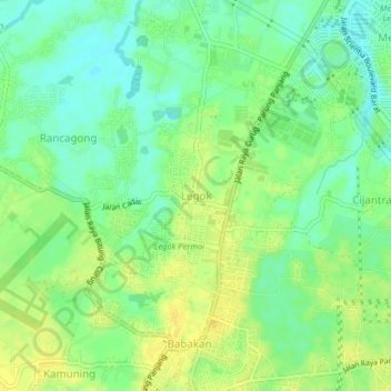
Name: Legok topographic map, elevation, terrain.
Location: Legok, Tangerang Regency, Banten, 15334, Indonesia (-6.30266 106.57119 -6.26266 106.61119)
Average elevation: 121 ft
Minimum elevation: 82 ft
Maximum elevation: 161 ft
Thank you for supporting this site ❤️
Make a donation
Make a donation
Gear up for your next adventure:
As an Amazon Associate, this site earns from qualifying purchases at no extra cost to you.