Geolocate

Beaumont topographic map

Click on the map to display elevation.

About this map

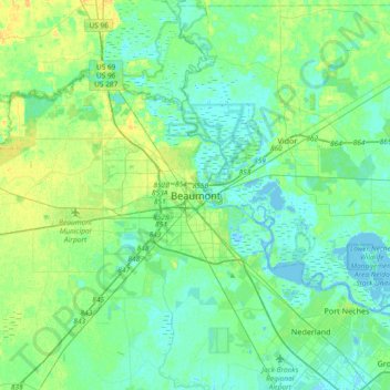
Name: Beaumont topographic map, elevation, terrain.

Location: Beaumont, Jefferson County, Texas, 77701, United States (29.92605 -94.26185 30.24605 -93.94185)

Average elevation: 20 ft

Minimum elevation: -20 ft

Maximum elevation: 59 ft

Jefferson County trails, hiking, mountain biking, running and outdoor activities

Gear up for your next adventure:

🧴Hand Sanitizer - Keep hands clean while hiking
🥩Freeze-Dried Meals - Nutritious and lightweight food for remote expeditions
🪑Ultralight Camp Chairs - Portable seating for resting after a long day of mapping
🔥Camping Stove - Portable stove for camping and backcountry cooking
🎒Outdoor Daypacks - Lightweight backpacks designed for carrying maps and essential gear

As an Amazon Associate, this site earns from qualifying purchases at no extra cost to you.