
Thank you for supporting this site ❤️
Make a donation
Make a donation
Gear up for your next adventure:
As an Amazon Associate, this site earns from qualifying purchases at no extra cost to you.
Kondhawale topographic map
Click on the map to display elevation.
Thank you for supporting this site ❤️
Make a donation
Make a donation
Gear up for your next adventure:
As an Amazon Associate, this site earns from qualifying purchases at no extra cost to you.
About this map
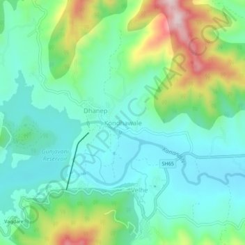
Name: Kondhawale topographic map, elevation, terrain.
Location: Kondhawale, Velhe, Pune District, Maharashtra, 412212, India (18.28872 73.61349 18.32872 73.65349)
Average elevation: 2,526 ft
Minimum elevation: 2,185 ft
Maximum elevation: 3,419 ft
Thank you for supporting this site ❤️
Make a donation
Make a donation
Gear up for your next adventure:
As an Amazon Associate, this site earns from qualifying purchases at no extra cost to you.