Geolocate

Bonnabel Place topographic map

Click on the map to display elevation.

About this map
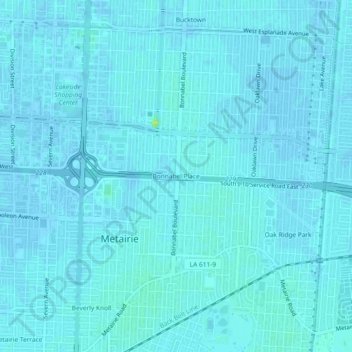
Name: Bonnabel Place topographic map, elevation, terrain.

Location: Bonnabel Place, Metairie, Jefferson Parish, Louisiana, 70005, United States (29.97715 -90.16313 30.01715 -90.12313)

Average elevation: 7 ft

Minimum elevation: -3 ft

Maximum elevation: 62 ft

Jefferson Parish trails, hiking, mountain biking, running and outdoor activities

Gear up for your next adventure:

🦶Hiking Gaiters - Keep debris and water out of your boots
📱Solar Portable Charger - Solar power bank for charging devices off‑grid
📚Navigation Handbooks - Master the art of reading topographic maps and using a compass
📦Gear Storage Bags - Organize and protect outdoor equipment
🍳Camping Cook Set - Complete cookware for outdoor meals

As an Amazon Associate, this site earns from qualifying purchases at no extra cost to you.