Geolocate

Hadapu topographic map

Click on the map to display elevation.

About this map

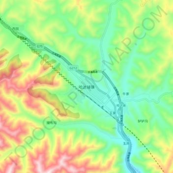
Name: Hadapu topographic map, elevation, terrain.

Location: Hadapu, Tanchang County, Longnan, Gansu, China (34.19132 104.18301 34.27132 104.26301)

Average elevation: 7,874 ft

Minimum elevation: 7,067 ft

Maximum elevation: 9,242 ft

Gear up for your next adventure:

🪶Wildlife Field Guides - Learn animal tracking and species ID
🦶Carbon Trekking Poles - Reduce knee impact on steep descents with ultra-light poles
🥤Water Filter Bottle - All‑in‑one filter bottle for safe hydration
🦶Hiking Gaiters - Keep debris and water out of your boots
📡Handheld GPS Device - Reliable handheld GPS for outdoor navigation

As an Amazon Associate, this site earns from qualifying purchases at no extra cost to you.