
Otzing topographic map
Click on the map to display elevation.
About this map
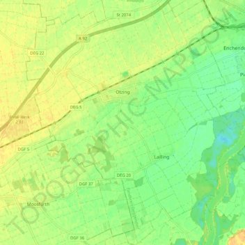
Name: Otzing topographic map, elevation, terrain.
Average elevation: 1,076 ft
Minimum elevation: 1,027 ft
Maximum elevation: 1,112 ft
Other topographic maps
Click on a map to view its topography, its elevation and its terrain.
Aletsberg
Germany > Bavaria > Landkreis Deggendorf > Deggendorf > Oberkandelbach
Average elevation: 1,138 ft