Geolocate

Suiter topographic map

Click on the map to display elevation.

About this map

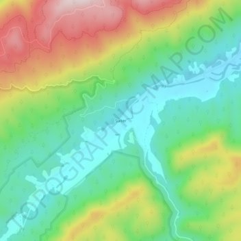
Name: Suiter topographic map, elevation, terrain.

Location: Suiter, Bland County, Virginia, 24314, United States (37.09984 -81.23343 37.13984 -81.19343)

Average elevation: 2,762 ft

Minimum elevation: 2,241 ft

Maximum elevation: 3,661 ft

Bland County trails, hiking, mountain biking, running and outdoor activities

Gear up for your next adventure:

🌡️Portable Weather Meter - Track weather conditions on the trail
🕶️GPS Smartphone Mount - Secure mount for phone navigation
🎁Geography Themed Gifts - Unique gift ideas for map lovers and geography enthusiasts
🛠️Outdoor Gear Repair Kit - Essential tools to fix gear on the trail
🪓Survival Multi‑Tool - Versatile tool for camp and trail tasks

As an Amazon Associate, this site earns from qualifying purchases at no extra cost to you.