
东辽县 topographic map
Interactive map
Click on the map to display elevation.
About this map
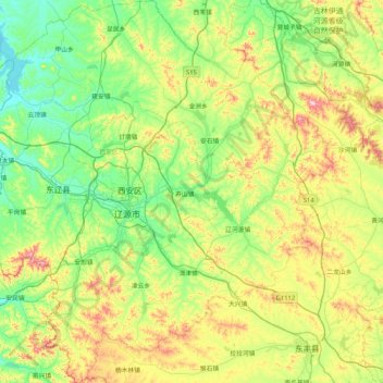
Name: 东辽县 topographic map, elevation, terrain.
Location: 东辽县, 辽源市, 吉林省, 中国 (42.61310 124.83442 43.22638 125.58857)
Average elevation: 1,129 ft
Minimum elevation: 715 ft
Maximum elevation: 2,139 ft
Other topographic maps
Click on a map to view its topography, its elevation and its terrain.