
Soča topographic map
Click on the map to display elevation.
Soča
An Alpine river in character, its source lies in the Trenta Valley in the Julian Alps in northwestern Slovenia, at an elevation of 876 metres (2,874 ft). The river runs past the towns of Bovec, Kobarid, Tolmin, Kanal ob Soči, Nova Gorica (where it is crossed by the Solkan Bridge), and Gorizia, entering the Adriatic Sea close to the town of Monfalcone. It has a nival-pluvial regime in its upper course and pluvial-nival in its lower course.
About this map
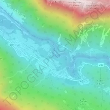
Name: Soča topographic map, elevation, terrain.
Location: Soča, Ograjenca, Srpenica, Bovec, 5224, Slovenia (46.28560 13.50800 46.29243 13.51956)
Average elevation: 2,041 ft
Minimum elevation: 1,037 ft
Maximum elevation: 4,836 ft