Geolocate

Churucancha topographic map

Click on the map to display elevation.

About this map

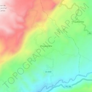
Name: Churucancha topographic map, elevation, terrain.

Location: Churucancha, Lajas, Chota, Cajamarca, Perú (-6.54901 -78.74296 -6.50901 -78.70296)

Average elevation: 8,058 ft

Minimum elevation: 7,064 ft

Maximum elevation: 9,482 ft

Gear up for your next adventure:

🎒Day Hiking Backpack - Lightweight backpack perfect for day trips and outdoor adventures
🚁Photography Drones - Capture stunning aerial views of landforms and topography
🪶Survival Guide Book - Expert advice for emergency preparedness
📦Dry Bags Set - Waterproof storage for electronics and clothes
🚗GPS Dash Cams - Record your scenic drives through mountain passes and canyons

As an Amazon Associate, this site earns from qualifying purchases at no extra cost to you.